

Springstead Mukeg 40 Conservation Area
The conservation area consists entirely of wild peatlands nestled among a mosaic of other protected lands.
Natural Features
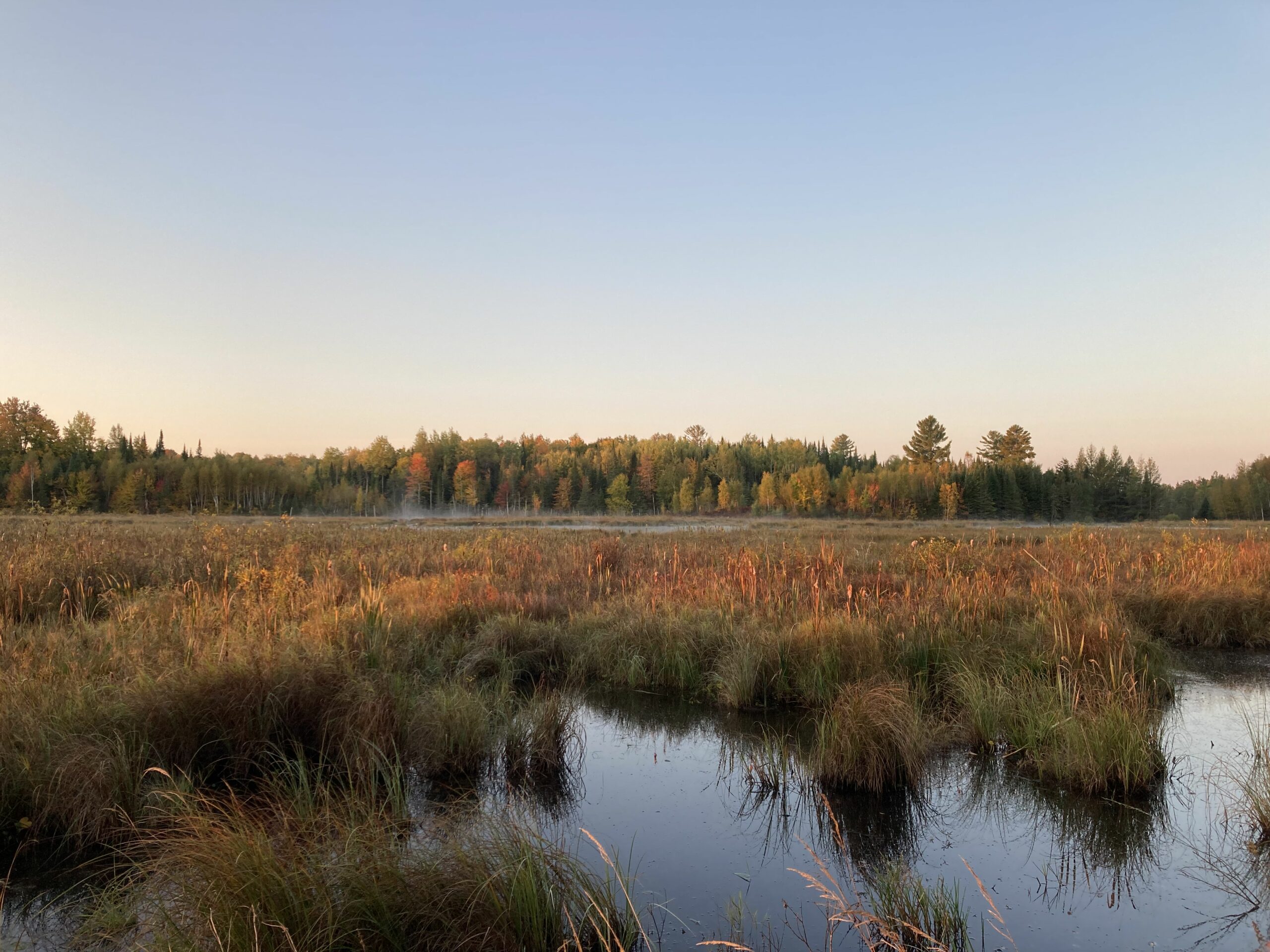
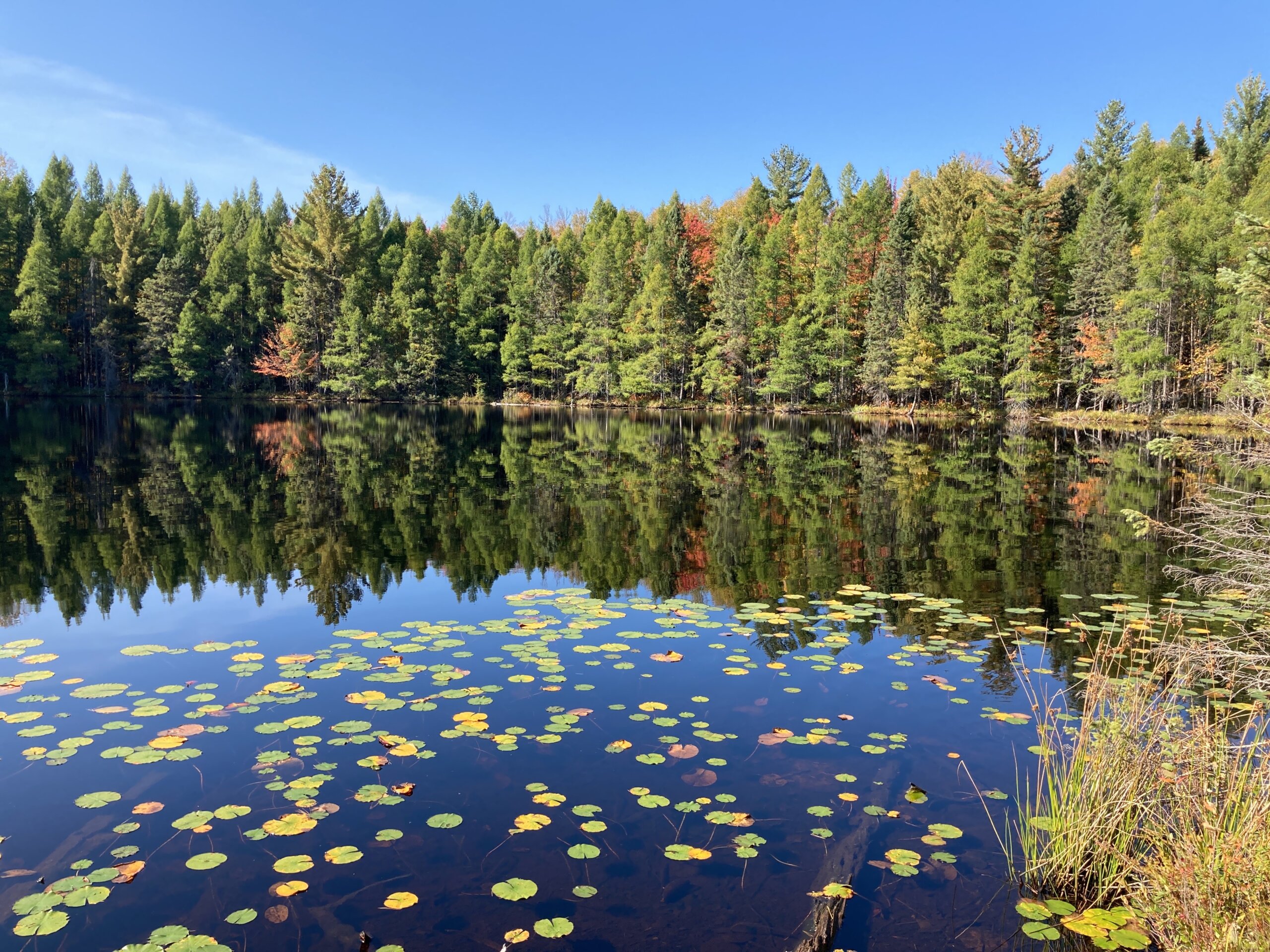
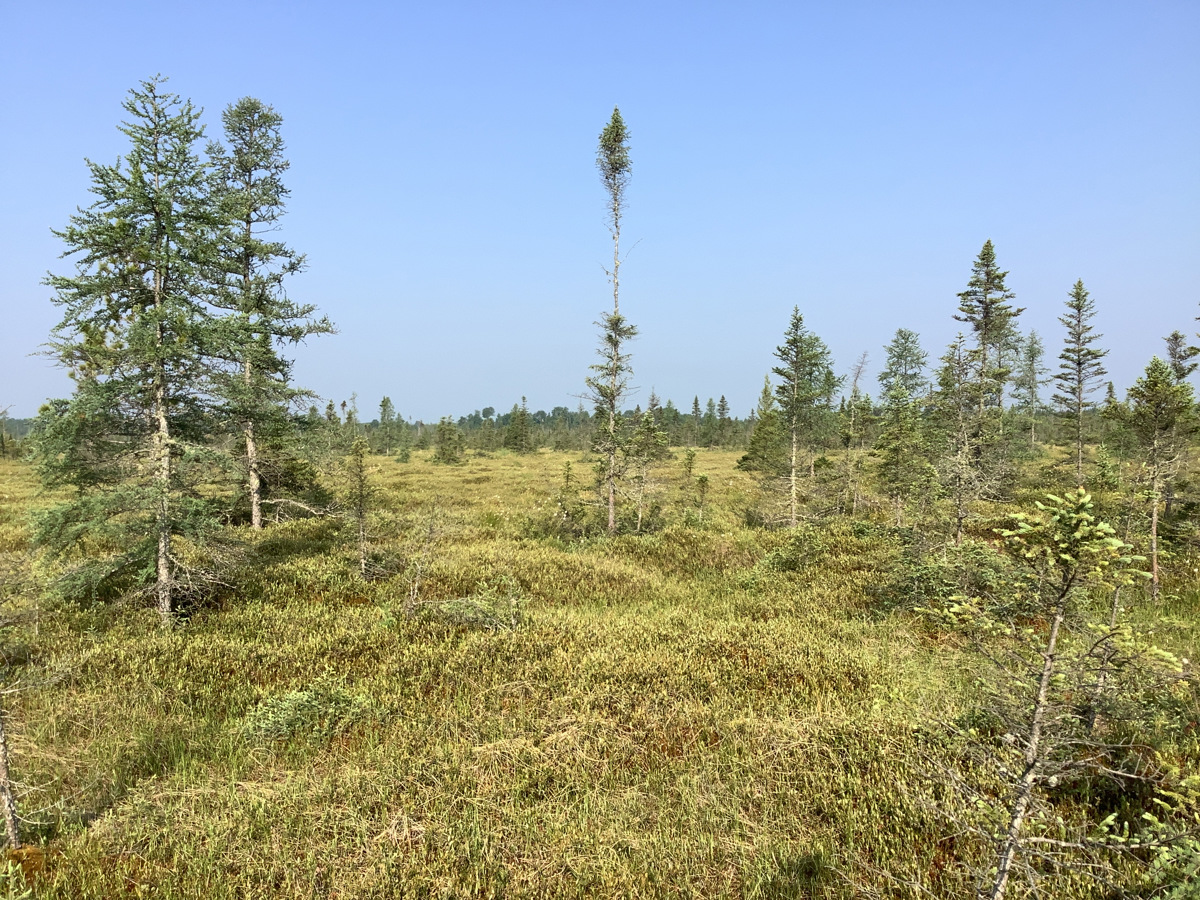
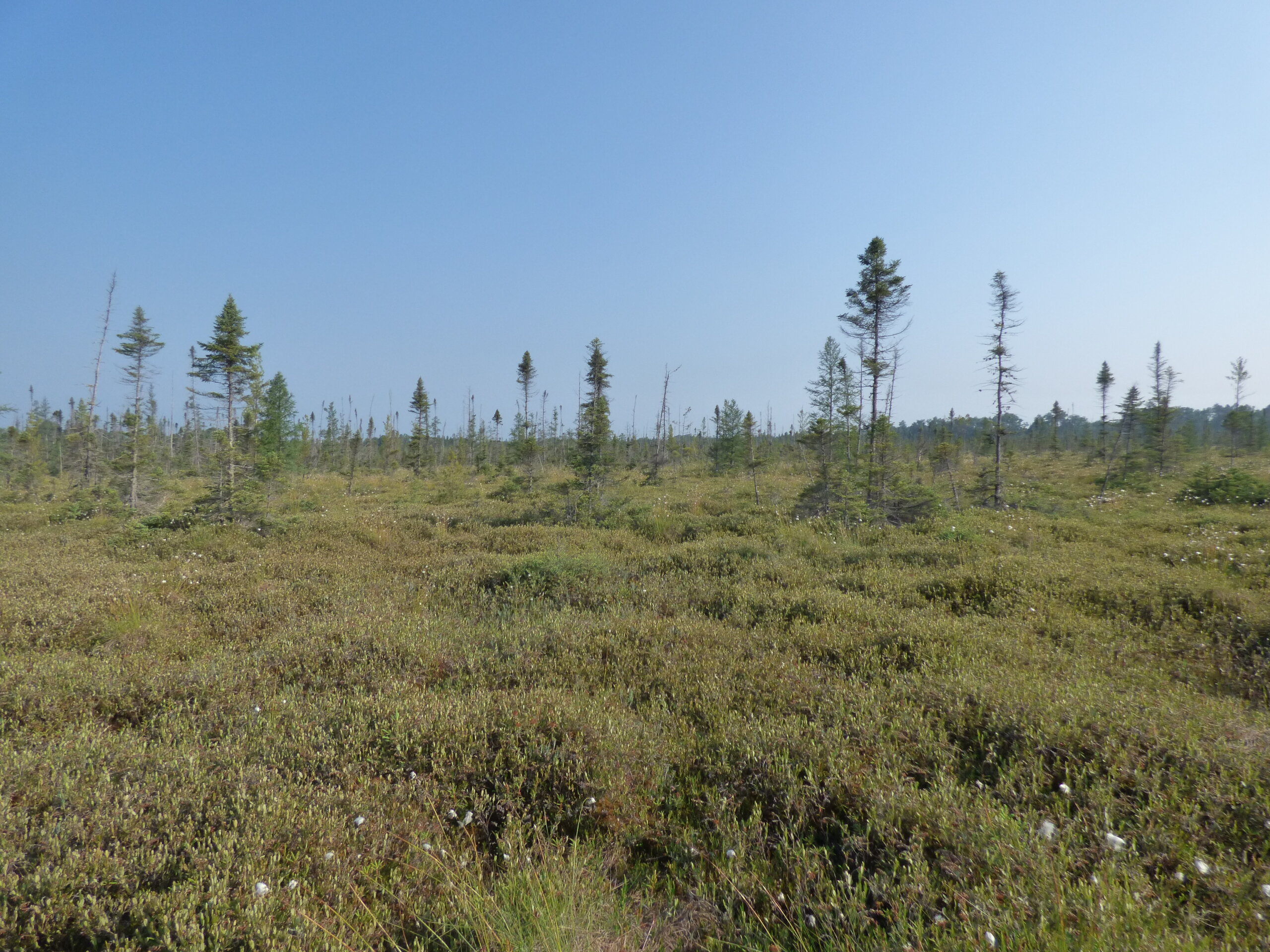
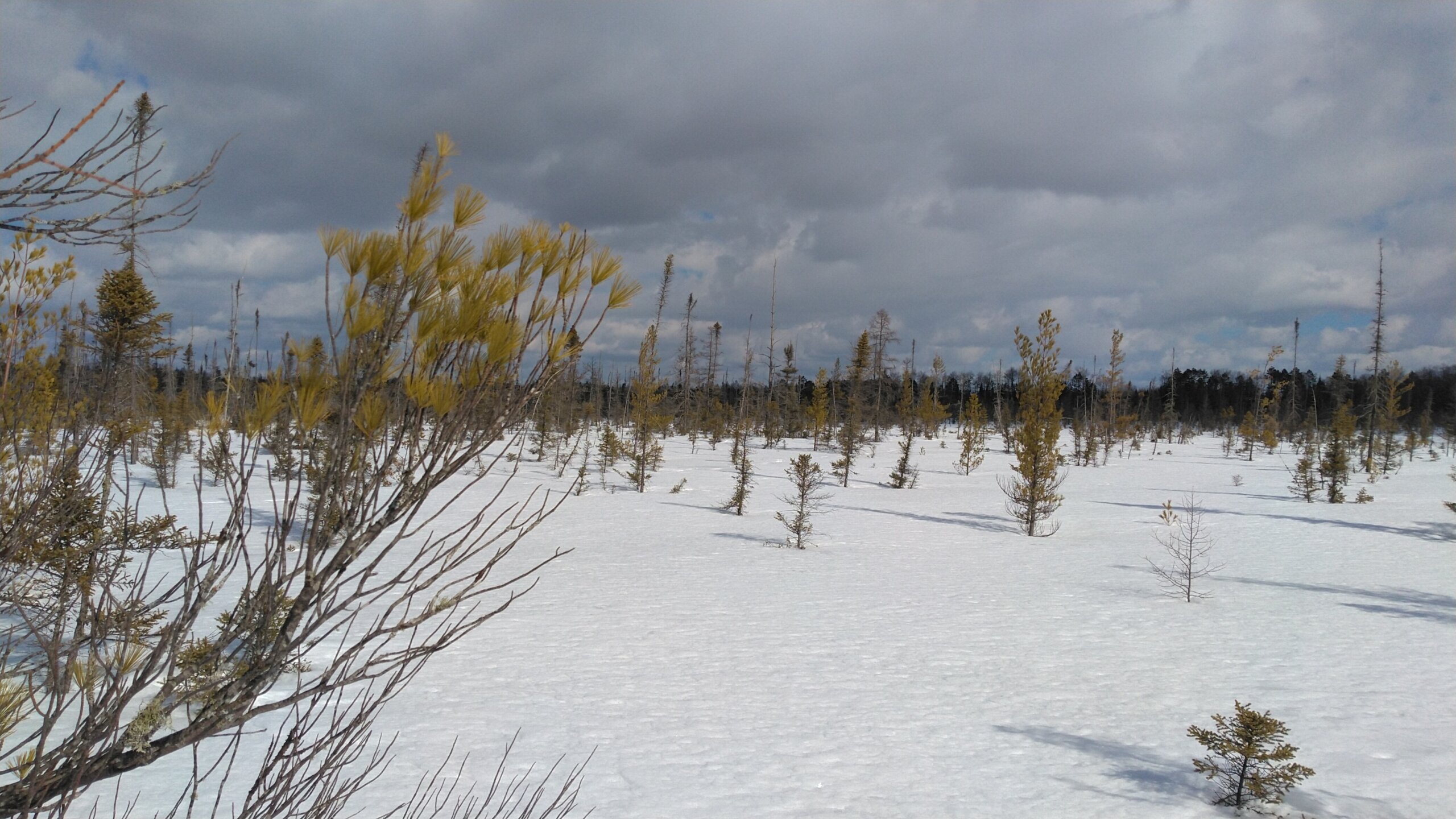
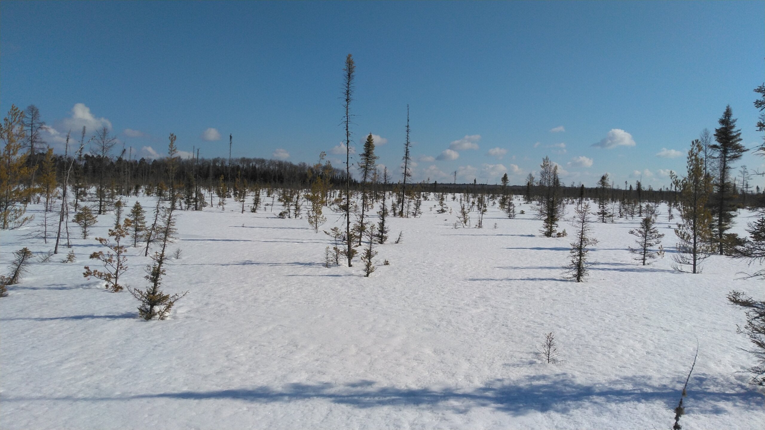
The property is comprised entirely of peatlands. Trees on the property are sparse, and stunted, but may still be quite old given the impressive remoteness of the property.
HISTORY
In July of 2023 NWLT purchased the property.
Read the fall 2023 newsletter for more information.
Town of sherman, iron County
39 Acres
Ownership: Northwoods Land Trust
Getting There
From Eagle River follow State Highway 70 west 12.2 miles to County Highway J in St. Germain. Turn left onto County Highway J and follow it 11.7 miles to Minocqua. Turn right onto Highway 47 and continue for 22.7 miles. Turn left onto State Highway 182 and continue for 14.3 miles. Maple Rd. will be on the east side of the highway. In winter park along the road, and walk east to the property through public lands. When there is no snow, turn left onto Forest Rd. #903 and continue to the end, about 1 mile.
Coordinates
45.981297, -90.173956
Recommended parking area on Google Maps.
Dogs are welcome.
Hunting and Trapping are allowed according to NWLT Guidelines.
MANAGEMENT
The preserve is passively managed meaning activities only occur in response to natural disasters or threats to the conservation values. The intent is to allow for the continuation of natural processes while maintaining the integrity of the ecosystems.
Benefits
Natural plant and animal habitat; water quality; increase connectivity of public lands; carbon storage and other nature-based services that lessen the impacts of climate change.
Funding Support
The expenses related to this project were supported by grants from the Caerus Foundation and Wisconsin Land Fund and a gift from an anonymous donor.

